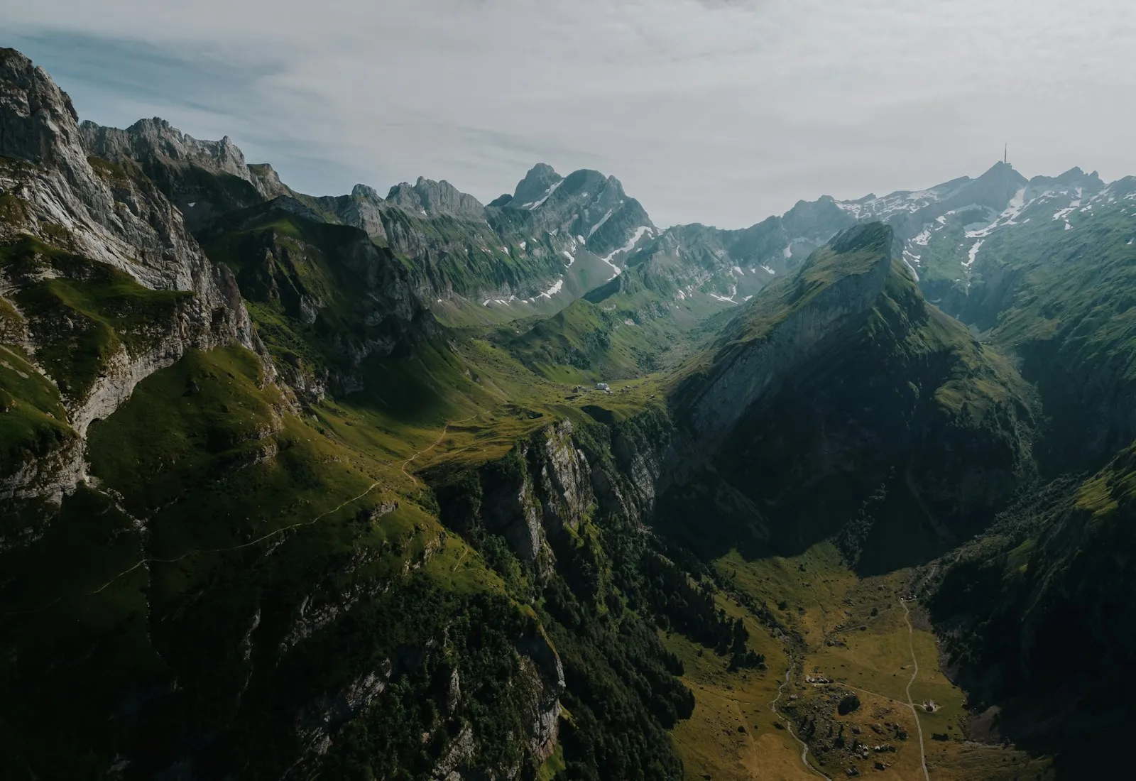
Start with one patch of terrain
I began with one elevation grid and a route I already knew. Instead of building a full map renderer, I made a small offline page that shows a shaded terrain preview next to an elevation profile. Limiting the first version to one area made it easy to compare the output with a paper map.
Thin the elevation profile
The raw profile had more points than the small screen could show. I split it into groups and kept the lowest and highest samples in each group. That reduced the size without hiding short, steep climbs.
def elevation_envelope(samples, step):
    if step < 1:
        raise ValueError("step must be positive")

    for start in range(0, len(samples), step):
        chunk = samples[start:start + step]
        yield min(chunk), max(chunk)
Check it away from Wi-Fi
I put the phone into airplane mode and opened the preview from a local file. The map loaded, but my first export had an unlabeled elevation axis. I added units and tick marks before testing on a second route.
Comments
Share a thought about this project. Comments appear after approval.
Loading comments…